
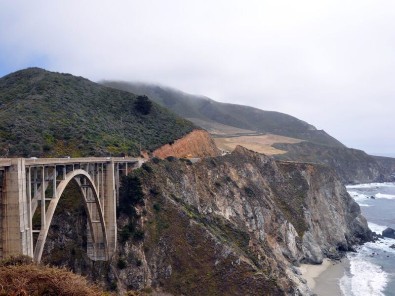
The morning began beneath a dense layer of fog. The road followed the shape of the cliffs, but the Pacific had disappeared behind a grey wall. Visibility narrowed to the next bend, and every familiar landmark seemed to have been removed from the landscape. To the left, dark slopes climbed into the mist. To the right, the edge of the road faded into cloud.
The ocean could not be seen, but it was always present. Its low, steady sound rose from below the cliffs, and the smell of salt reached the road whenever the wind moved inland. The journey felt quieter in the fog. Viewpoints appeared without warning and then vanished behind, empty except for signs, railings and the suggestion of a view.
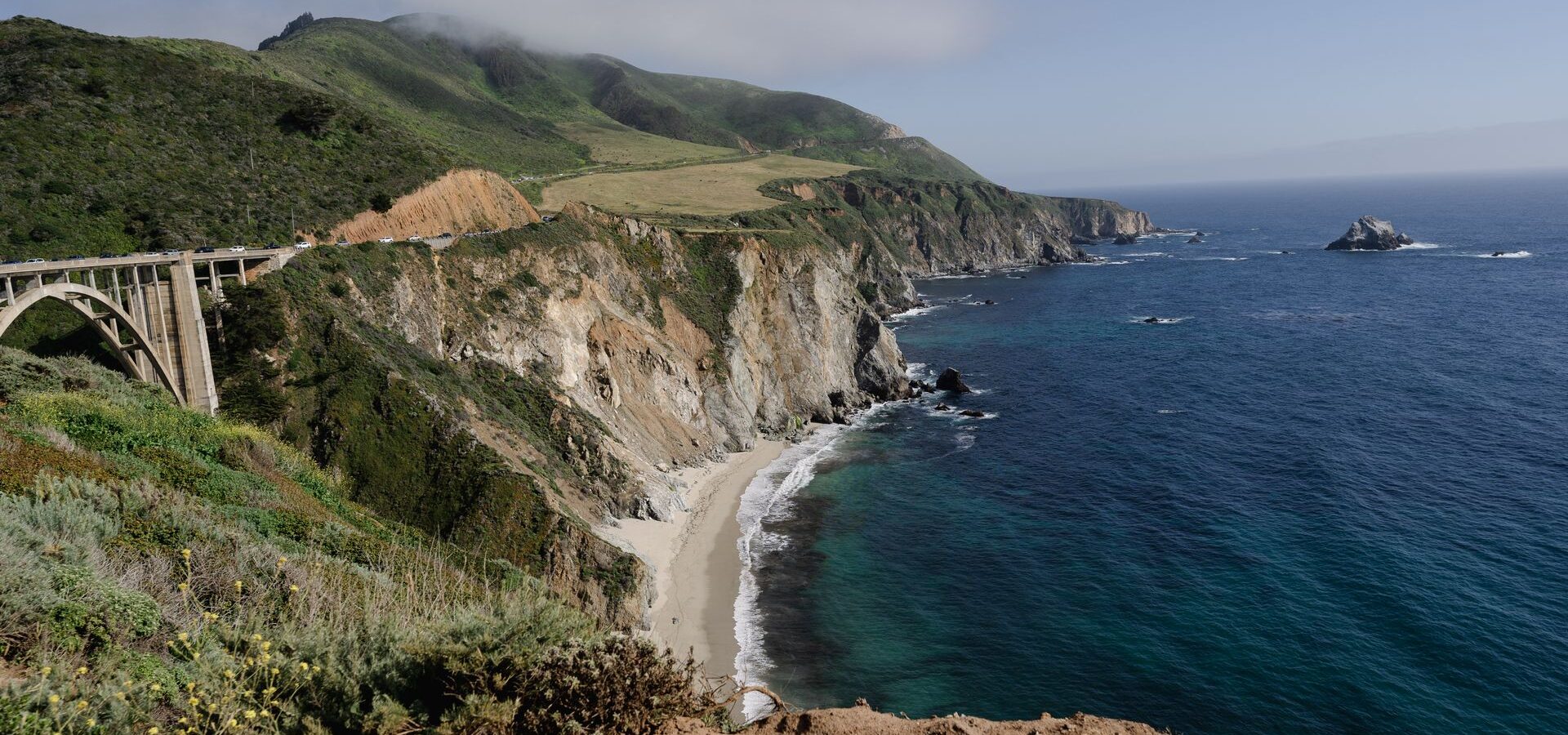
Farther south, the cloud began to thin. First came a narrow line of blue above the horizon. Then sunlight reached the higher slopes and slowly worked its way down towards the water. Within minutes, the coast changed completely. The Pacific reflected the light in deep blue and silver, and the cliffs that had been hidden all morning appeared in warm shades of brown and green.
Vehicles pulled into the next overlook. Doors opened, cameras appeared and conversations stopped as people walked towards the edge. Nobody seemed in a hurry to leave. The view was not a single monument or a marked attraction. It was the entire coastline, stretching beyond the next headland and promising that another bend would reveal something different.
The road continued through Big Sur, where forested slopes and exposed cliffs alternate over surprisingly short distances. At times, the route passed beneath tall trees and felt enclosed. A few miles later, it returned to open sky above the ocean. The changing landscape made distance difficult to judge. A short drive could take an hour because each viewpoint offered a reason to stop.
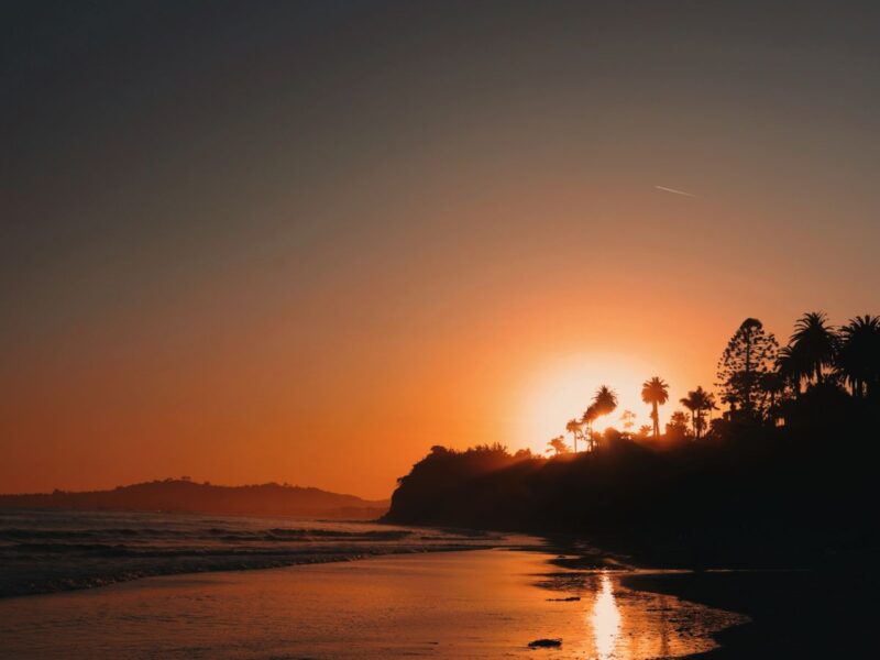
By late afternoon, the light became softer and the surface of the water turned gold. The destination still mattered, but it no longer controlled the day. The drive had found its own rhythm: move, slow down, stop, look and continue. That rhythm is what makes the Pacific Coast Highway memorable. It does not simply connect places along California. It turns the space between them into the main experience.