The journey began in the busy south of Florida, where wide roads and constant traffic still belonged to the mainland. Mile by mile, the surroundings changed. Buildings became lower, palms appeared more often and flashes of blue water opened between the trees. The road was no longer approaching the coast. It was leaving the continent behind.
The Florida Keys form a long chain of islands connected by causeways and bridges. From the road, the landscape alternated between small communities, mangrove edges, marinas and sudden stretches of open sea. Boats rested in sheltered water beside the highway. Pelicans watched from posts and railings. Signs advertised fishing trips, roadside food and the next island rather than the next city.
The farther south the route travelled, the more relaxed the pace seemed to become. The distances on the map were not large, but progress was measured differently here. A view across a quiet bay, a small harbour or the colour of the water invited another stop. The journey became a sequence of islands, each one separated by a brief crossing and each one carrying a slightly different atmosphere.
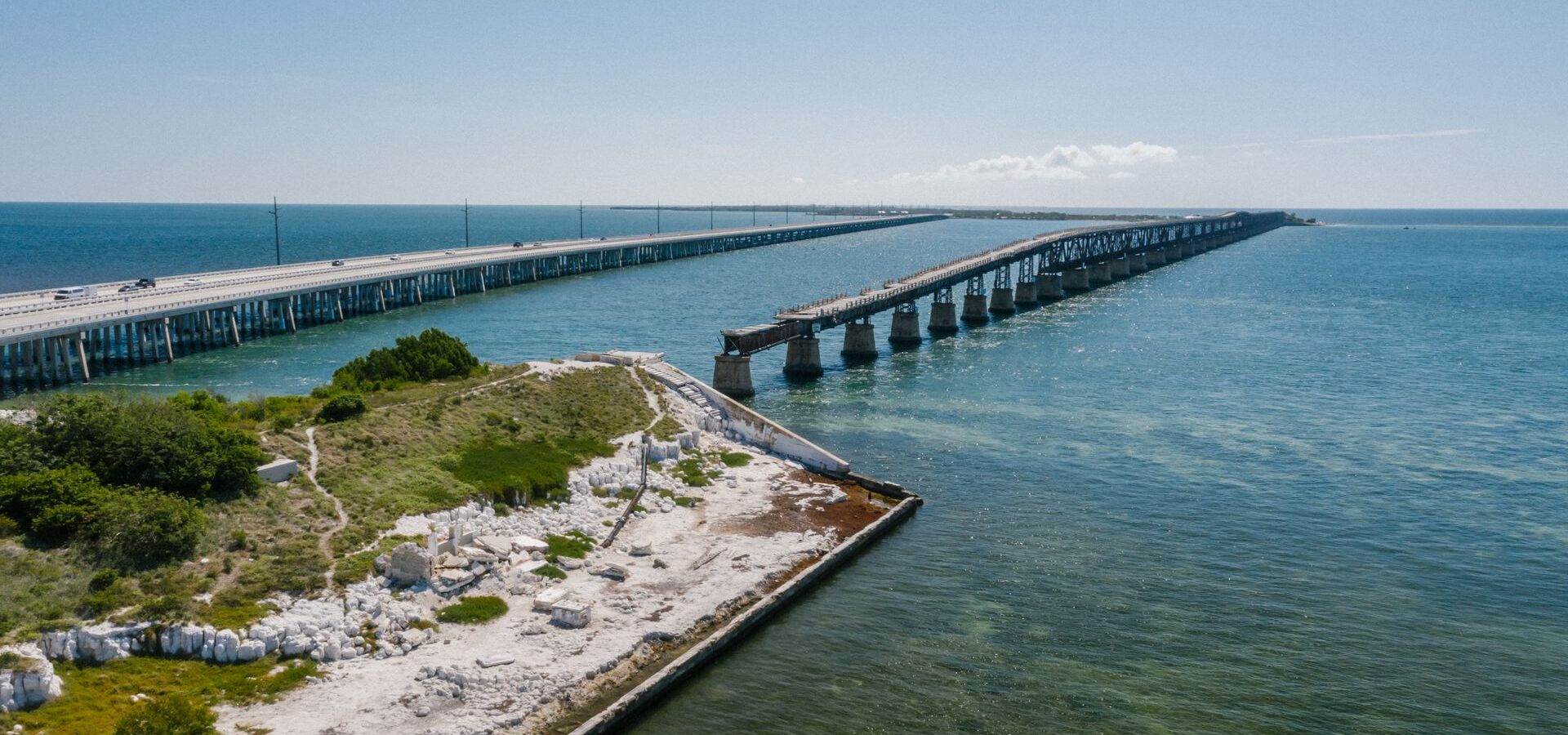
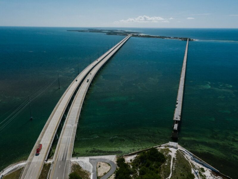
Then the Seven Mile Bridge appeared ahead. The road extended over open water in a long, clean line. For several minutes, there was almost nothing between the vehicle and the horizon. The sea changed from turquoise near the shallows to deeper blue farther away. The old railway bridge remained visible nearby, a reminder that this improbable route across the islands existed long before the modern highway.
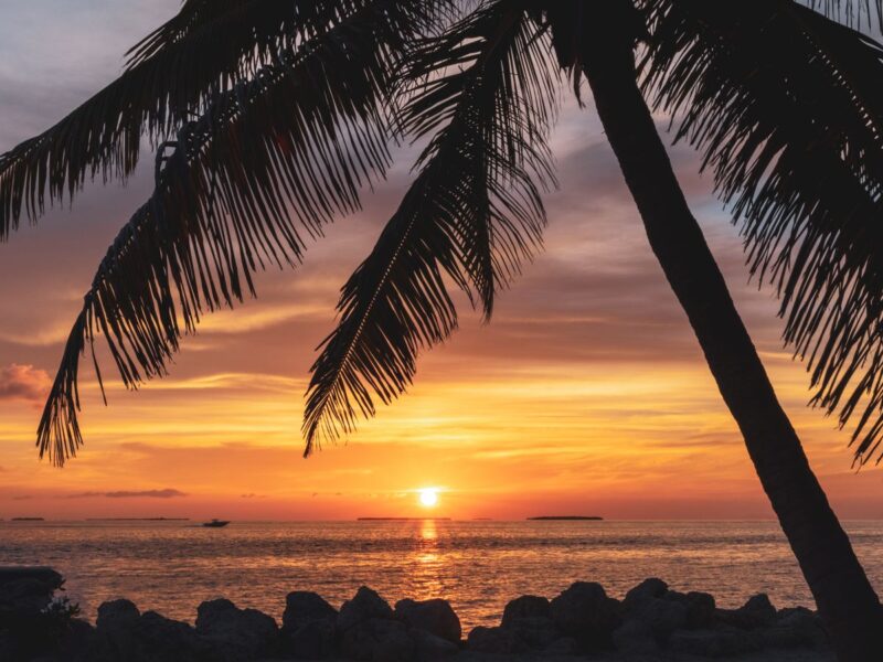
As evening approached, the light softened. Boats moved slowly towards their moorings, and the water reflected shades of gold and orange. Near the final islands, travellers gathered beside the shore to watch the sun descend. Some took photographs. Others simply sat and allowed the day to end without adding another stop to the schedule.
By the time Key West came closer, the road felt like more than a connection between islands. It had become a gradual transition from mainland urgency to island distance. The Overseas Highway is memorable not because it covers an enormous territory, but because it creates the rare sensation of driving through sky and water towards the edge of the map.